Introduction
Thank you for visiting this website, which has been created to support your engagement in the pre-application consultation process.
This website enables you to share your feedback on a proposed development for the construction of around 100 new homes, vehicle access via Walk Mill Lane, the provision of new public open space and a children’s play area, associated infrastructure, and off-site highway improvements at Land South of Walk Mill Lane, on the land outlined in Red on the Location Plan.
Additionally, Bloor Homes is seeking feedback on future potential alternative uses for the existing Soil’s depot site (as outlined in Blue on the Location Plan), including the provision of an Early Years facility or an alternative employment space.
Our Vision
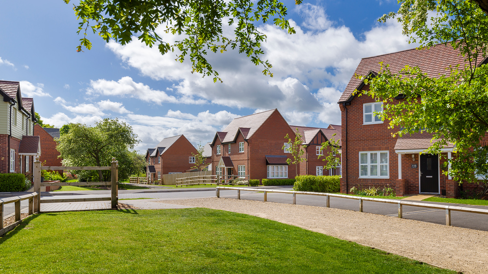
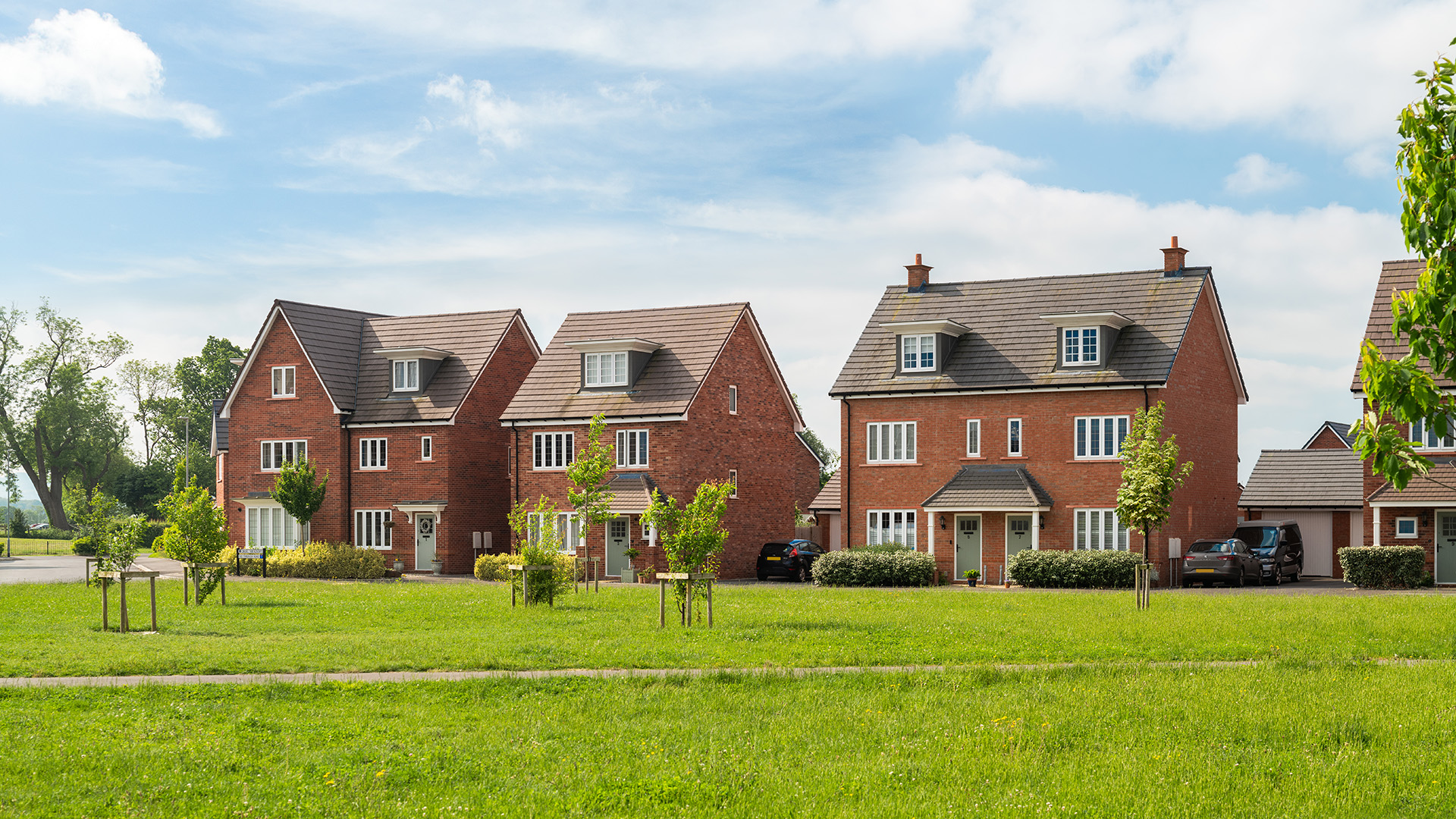
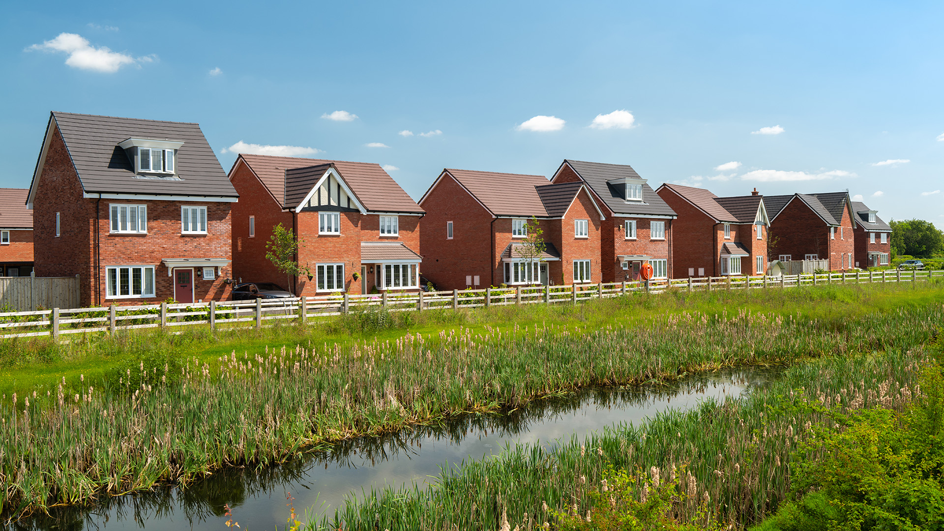
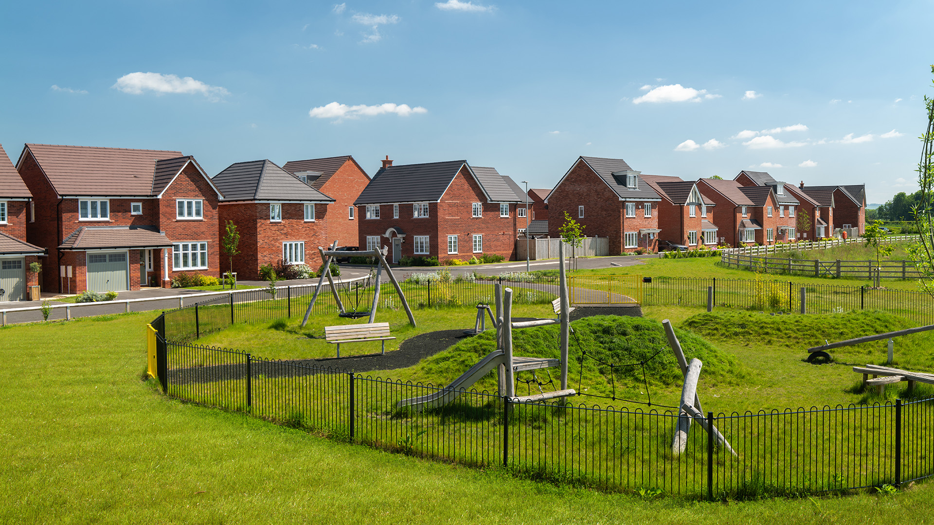
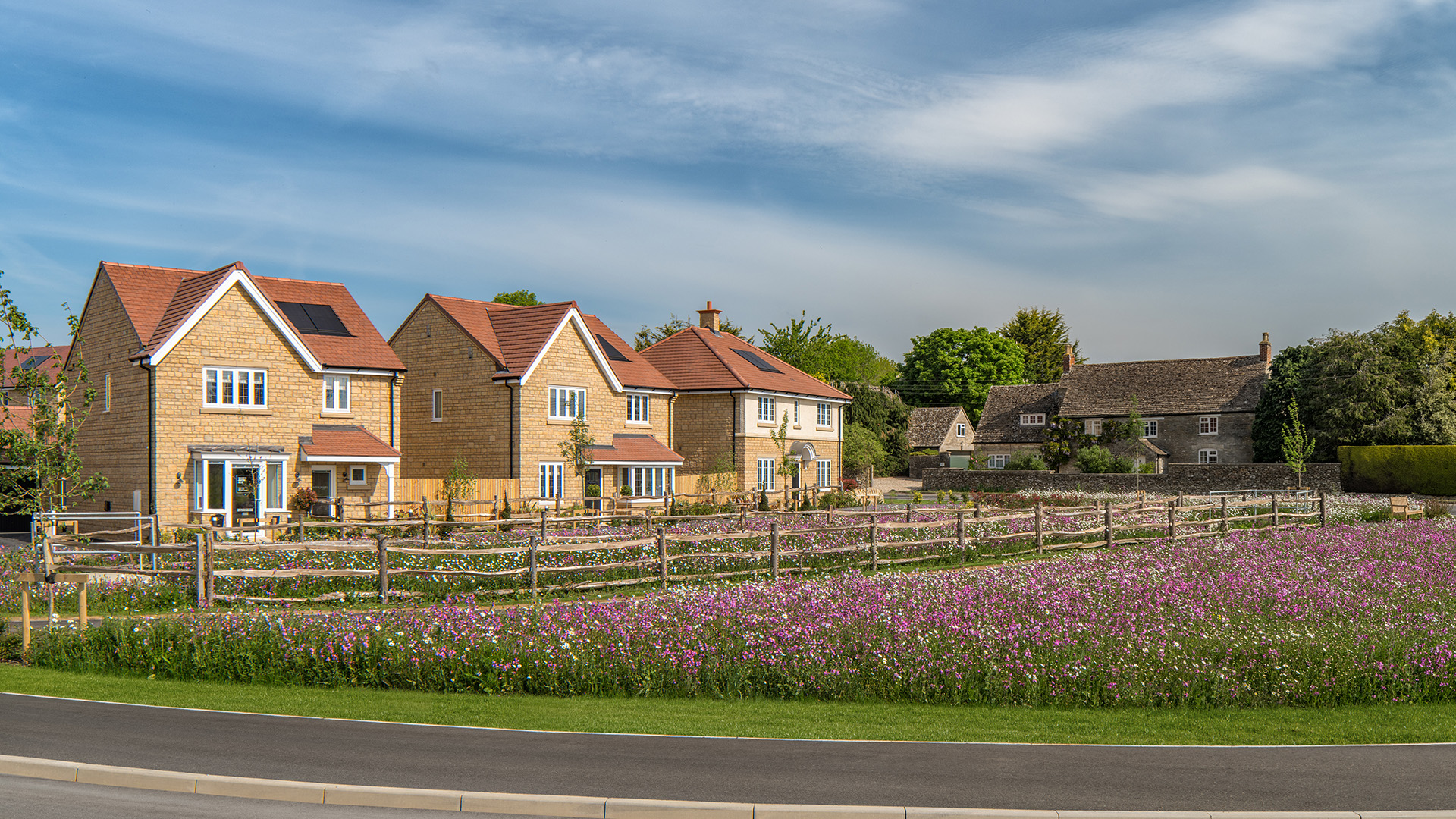
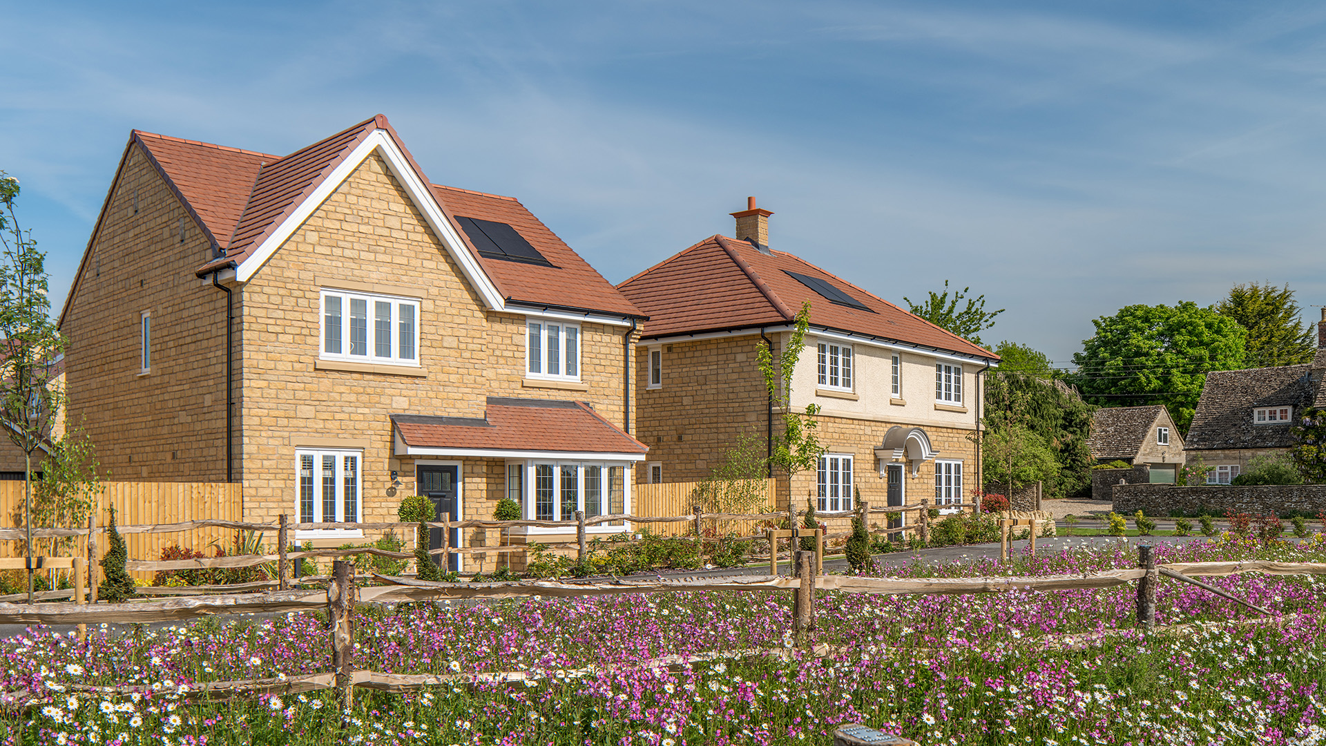
Our vision for Walk Mill Lane in Kingswood is to create an attractive, high-quality residential development that respects and enhances the character of the local area, whilst delivering an appealing and accessible extension to the existing community.
The development is designed to respond to the challenges of the climate emergency by embracing sustainable design and connecting people with nature. It will offer a mix of homes of various types and tenures to meet local needs, while also extending the existing green infrastructure to promote a healthy and active community. In addition, the scheme includes the potential for a children's nursey or employment opportunities, supporting both social and economic sustainability within the wider community.
The Proposal
The emerging Development Framework Plan, has been prepared in response to the site's constraints and opportunities and to reflect and interact with the local character of Kingswood.
The constraints and opportunities presented by the site have been utilised to inform and structure the development proposals. The topography forming a gentle south-easterly slope opens up views of the Cotswold National Landscape, forming a natural drainage route towards the existing watercourse along the south-eastern boundary. A sensitive development in this location will enhance the edge of Kingswood from views into the site from the AONB, especially when softened by landscaping. The existing vegetation provides effective screening and present opportunities for both landscape and ecological improvements.
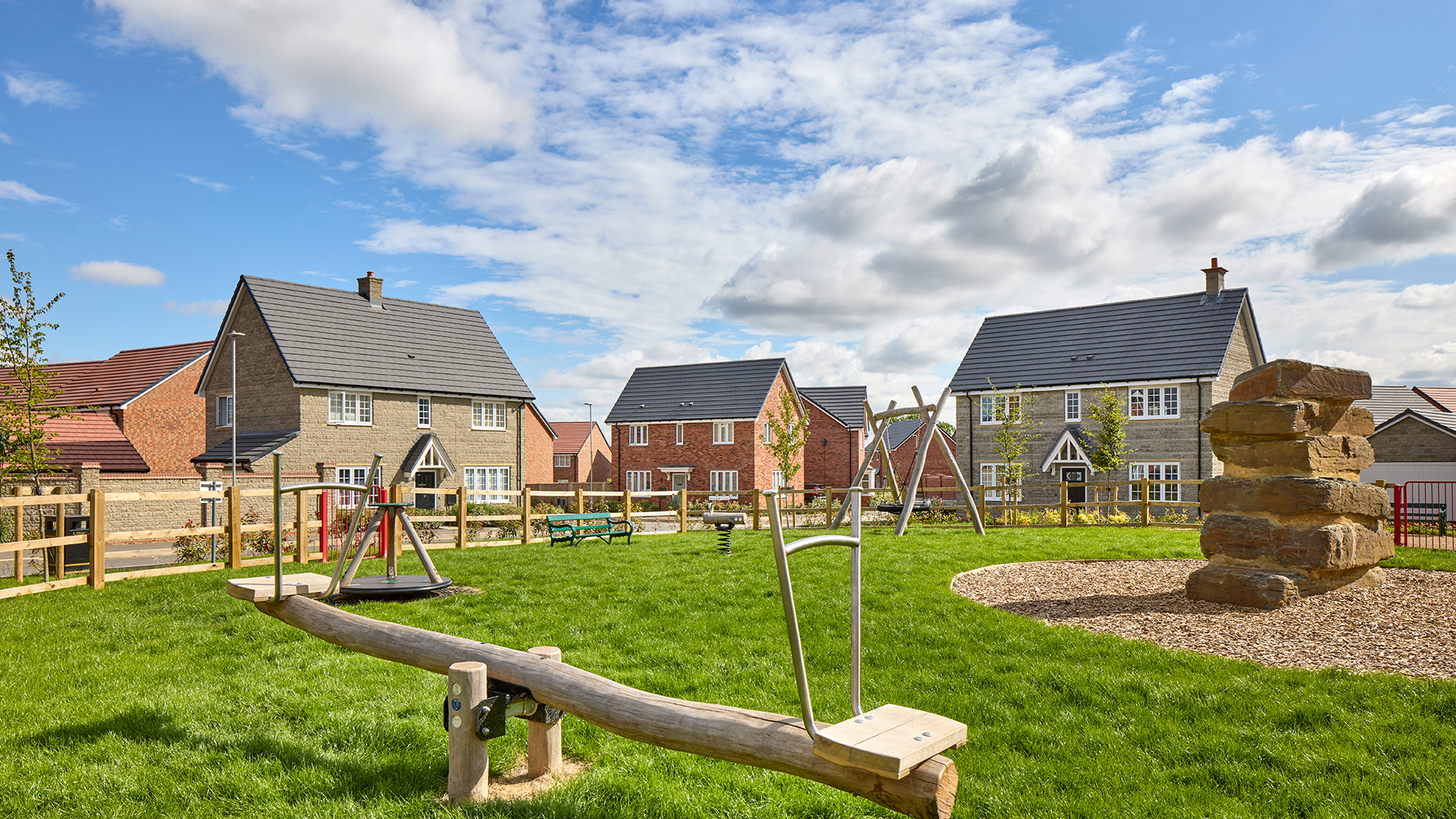
The new areas of public open space (POS) as shown on the masterplan measure over 4.6areas. These areas include the north western POS and the south eastern drainage corridor, connected by a central green corridor that follows the line of existing vegetation. A new play area (Local Equipped Area of Play) is proposed within the south eastern POS.
Vehicular access into the site will be from Walk Mill Lane. The proposal includes the delivery of around 100 new homes, along with provision for either early years education or employment opportunities. The new homes will include a mixture of 2, 3, 4 and 5 bedroom open market and affordable housing. A minimum of 30% affordable housing will be provided (up to 33 homes).
Masterplan
The emerging indicative masterplan, shown on the link below, has been prepared in response to the site's constraints and opportunities and to reflect and interact with the local character of Kingswood
At this stage, the key elements of the indicative masterplan include:
- Around 100 new homes
- Up to 33 (30%) affordable homes of a mix of type and tenure
- Land set aside for a new children's nursery facility or employment space
- New public open space included a children's play areas in proximity to existing homes and easily accessible
- Off site footpath improvements enhancing the local infrastructure
Design & Placemaking
The Illustrative Masterplan sets out the Vision for how new homes, new public open space and children's play facility, and either a children's nursery facility or sensitively integrated employment space could be delivered on the site.
The Masterplan represents a thoughtful and imaginative approach to placemaking—one that prioritises quality of life, sustainability, and long-term community wellbeing.
Guided by robust design and placemaking principles, the Masterplan aspires to create a neighbourhood that is inclusive, walkable, and deeply connected to its surroundings. The placemaking principles that have underpinned the Masterplan include:
- A Diverse and Inclusive Housing Mix: A range of homes in different sizes and tenures—including affordable housing—will support a vibrant, mixed community. Final details will be shaped at the detailed design stage to respond to local needs and aspirations.
- Community and Employment Space Opportunity: The scheme presents the opportunity to create a new children's nursery facility, or a sensitive employment space, recognising the existing residential environment.
- Seamless Connectivity: The proposal incorporates a new network of pedestrian routes within the site, and outlines potential improvements to off-site footpaths, facilitating safe and direct access to existing village amenities, including the primary school.
- Public Open Space: Over 4.6 acres of new informal and formal public open space (POS) is proposed. The POS will provide opportunities for play, relaxation, and nature engagement. These areas could include a new children's play area, biodiversity enhancements, and sustainable drainage feature.
- A Movement Framework Rooted in Sustainability: A network of footpaths will be provided through the open spaces, encouraging exploration and reinforcing links with the wider area.
- Contextual and Characterful Architecture: Buildings will be sensitively scaled and designed to reflect and enhance the local character, contributing to a distinctive and coherent sense of place.
Pedestrian Movement Strategy
Pedestrian and cyclist connections are a key focus to ensure the site seamlessly integrates with the village facilities
An assessment of the existing pedestrian routes to key facilities have been undertaken highlighting potential improvements to the existing network.
The potential improvements are outlined below and on the accompanying plans, and are subject to on-going discussions with local highways authority:
- Existing 20mph zone extended to Weavers Close
- New tactile pedestrian crossing at junction of Orchard Walk
- New tactile pedestrian crossing at junction of Abbey Street
- New tactile pedestrian crossing at junction between Golden Lane and The Walk
- Improved pedestrian link between Orchard Walk and High Street, including the new section of footpath
- Resurface existing crossing location along Old Rectory Road with colour asphalt
- New controlled crossing at the junction between Charfield Road, Old Rectory Road, Wotton Road, and Abbey Street
- Improved pedestrian link between Wotton Road and Katherine Lady Berkeley's School
Technical Approach
Technical and supporting work has, and will continue to be undertaken to inform and influence the emerging proposal.
Sustainable Design
Climate measures will include retention of existing vegetation, the establishment of new habitats and encouraging the use of sustainable transport. An integrated walking and cycling network and improved public transport services will encourage the use of sustainable transport, reducing congestion and improving air-quality.
Another measure is the sustainable design of the homes themselves:
- Homes will be built to consume less energy by using the latest materials and techniques to maximise insulation, air tightness and heat recovery. No fossil fuel heating systems will be installed beyond 2025, creating an uplift in energy efficiency of 75-80%.
- Materials will be procured from sustainable sources and construction waste recycled as far as possible.
- Electric vehicle charging points will be provided for all dwellings with on-plot parking.
- Sanitaryware and appliances that meet the highest water efficiency standards will be installed.
- Every home will be built with the space and technology to allow for comfortable home working via superfast data connections needed for modern living. Well designed homes will provide flexibility to cater for future demands of residents.
Transport
A Transport Assessment and Residential Travel Plan will be produced in support of the planning application, to address all highways and transportation matters. These documents, supported by supplementary technical documents, will be prepared in accordance with prevailing national guidance.
The Transport Assessment will review the site location, existing highway conditions, relevant planning policy and guidance, and the accessibility of the site by sustainable modes of transport. It will provide details of the proposed development, forecast the likely trip generation, and assesses the potential impact on the highway network. Where necessary, it will also identify appropriate mitigation measures to ensure the development is acceptable in planning and operational terms. The traffic impact assessment will adopt a robust and proportionate methodology, incorporating recent traffic surveys, census data analysis, and traffic modelling. It will consider a realistic future-year scenario and demonstrate that the development will not result in a severe impact on the operation or safety of the surrounding highway network.
The Residential Travel Plan complements the Transport Assessment by focusing on promoting sustainable travel to and from the site. The Travel Plan will review the site's accessibility by walking, cycling, and public transport, and outline a range of measures and initiatives designed to encourage modal shift away from car use, thereby minimising the development's impact on the local highway network.
Accordingly, it will be demonstrated that the proposed development is safe, suitable, and sustainable in highways and transportation terms, and fully compliant with relevant local and national planning policies.
Key Public Open Spaces
The development delivers three key elements to spaces the support the landscape vision:
- Public open space: The main public open space is situated at the northwestern corner of the development, with direct pedestrian links to Walk Mill Lane, providing accessible opportunities for gatherings and outdoor recreation.
- Central green corridor: The existing central hedgerow belt is enhanced to create a strong green corridor through the heart of the development and connecting spaces and wildlife.
- Play space: A new LEAP (Local Equipped Area of Play) is situated within the southeastern public open space, connected to the wider development via the green corridor.
Drainage and Flood Risk
A small watercourse is located on the south-eastern boundary of the site. The watercourse corridor is identified to fall within Flood Zone 3, this is land at a high probability of river flooding. A bespoke hydraulic river model of the watercourse has been developed to provide a definitive floodplain outline through the site. This has included an uplift to peak river flows to account for future climate change. The proposed development has been located outside and above the floodplain, on land classified as Flood Zone 1 (land at a low probability of river flooding). This will not only ensure that the development is at a low risk of flooding, but it will also prevent any detrimental displacement of the floodplain which could otherwise affect downstream flood risk. The site is identified to be at a low risk from other potential sources of flooding.
Surface water runoff from the existing site is currently drained via informal overland flow into the watercourse. The development proposes to mimic this arrangement by continuing to outfall to the watercourse. The discharge rate from the development will be restricted to the equivalent annual average greenfield (pre-development) runoff rate (QBAR), so that the peak flow leaving the site is not increased above the existing. The excess surface water runoff will be stored within an above ground Sustainable Drainage System (SUDS) basin or pond until it can be discharged. In accordance with best practise and guidance the basin will be sized to accommodate the 1 in 100-year storm with additional capacity provided to accommodate future climate change and potential urban creep. The SuDS will offer amenity and biodiversity benefits, as well as providing treatment to the runoff from the development, helping to protect downstream water quality.
Foul water will be drained separately to surface water and will be directed to the local foul sewers. The developer will work with the sewerage undertaker to confirm the most appropriate point of connection and ensure that any necessary reinforcements are implemented in the existing infrastructure prior to occupation.
Landscape
The public open space landscape proposals would contribute to a high-quality green infrastructure which takes advantage of the rural edge context and existing landscape framework. The existing hedgerow belt would be enhanced to create a green corridor through at the heart of the development. This would connect the new green public open space at the northwestern corner, through to the play space, SuDS and wildlife buffer at the southeastern edge, to the wider countryside beyond, strengthening the existing biodiversity and habitats whilst situating the development within a robust green infrastructure context.
Arboriculture
The site's existing tree stock is primarily composed of species typical of agricultural land, predominantly native trees such as ash, oak and willow. Most of these trees are located along the boundaries of the field parcels and adjacent properties. The trees vary in value, from some higher value specimens all the way to low value and dead trees. Notably, there are some larger ash trees considered to be of moderate to high value located around the site. The majority of the trees form typical, agriculturally managed boundary groups of various ages and form.
The proposed development will have a limited impact on the existing trees, with the vast majority being retained. Tree removal is required to facilitate the development, but this is restricted to partial removal of low value tree groups or hedgerows and removal of a single tree group that is unsuitable for retention because it is comprised of dead standing trees. To compensate for any loss, new planting will be provided across the site as part of the development plan.
A full Arboricultural Assessment will be submitted as part of the planning application. This report will provide comprehensive details on the existing tree stock and the specific impacts of the proposed development.
Green Infrastructure
The development is situated within the following green infrastructure strategy:
- Tree planting: Structured tree planting using native and feature ornamental species add character to new streets, entrances, and gathering spaces, creating seasonal and visual interest whilst enhancing biodiversity.
- SuDS & wetland Habitat: The proposed drainage corridor to the southeast edge harnesses natural water management techniques and provides opportunities to enhance biodiversity through native wetland planting and wildflower meadow.
- Enhanced boundaries: The more sensitive edges to existing residential properties and to views from the Cotswold National Landscape the hedgerow and trees boundaries are enhanced by additional planting, with an extensive buffer to the southeast rural edge.
- Recreational routes: A network of formal path lined with trees and informal paths within mown grass encourages active lifestyles, and opportunities for informal play. These routes also connect key green spaces within to the surrounding village context.
Additional Technical Matters
Further technical assessment work relating to Landscape, Arboriculture, Noise, Heritage, Ecology and Air Quality is being undertaken. A comprehensive suite of technical documents will accompany the formal planning application.
In Summary
The proposal comprises:
Next Steps
The survey is now closed.
Should you wish to contact Bloor Homes to discuss the proposal, then please contact us via email.
We are a 5 star builder
Since 1969, we've always gone above and beyond for our customers. We do this by caring for you as much as we care about crafting the finest homes. For the seventh year running we have gained 5 star status for Customer Service by HBF, which is why 98% of our homeowners would recommend us to a friend.